Map2Model
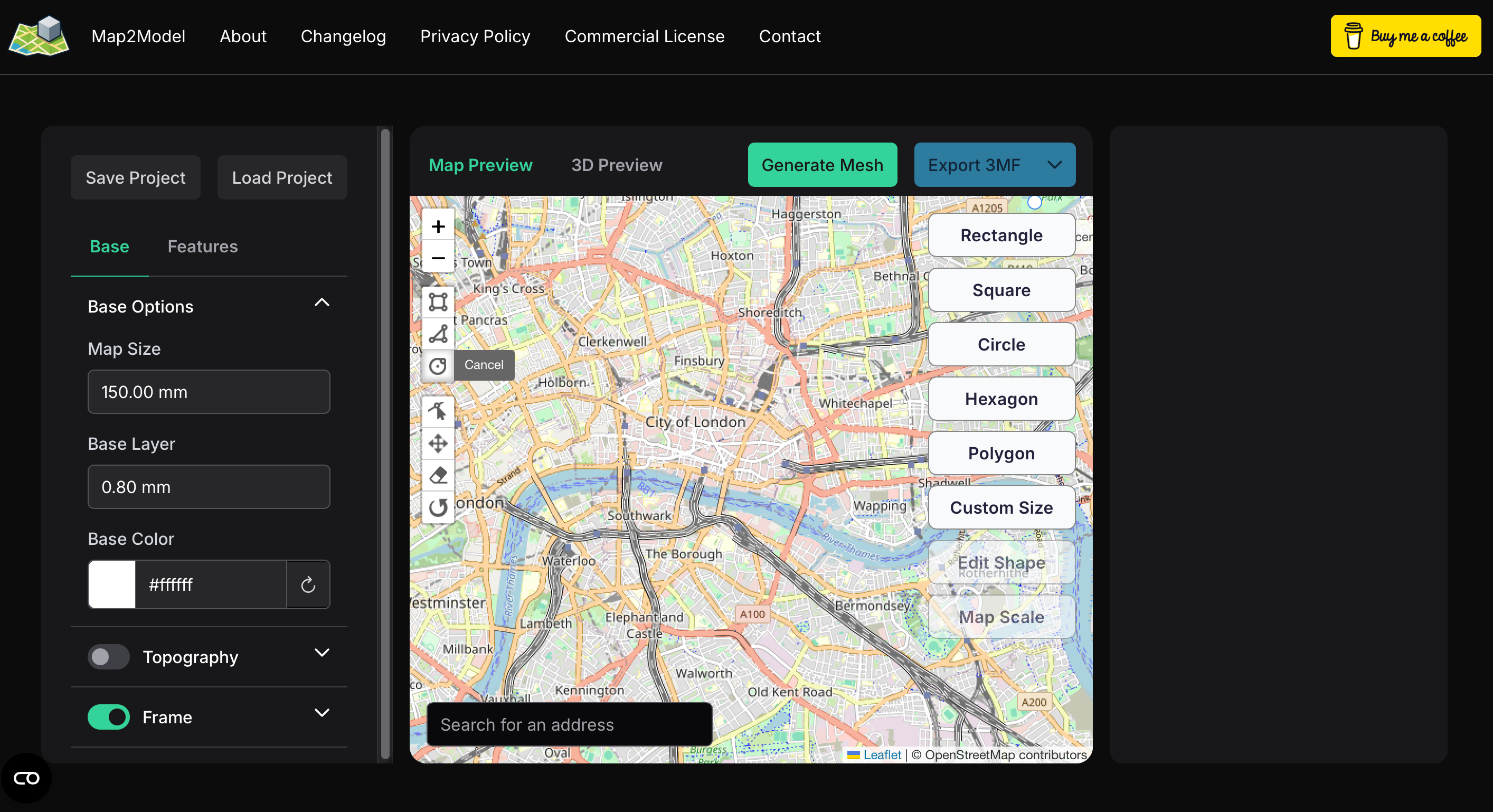
Map2Model is a revolutionary free web-based tool that transforms real-world geography into 3D printable models, making it incredibly easy for makers, educators, and hobbyists to create accurate topographic terrain models without any specialized software knowledge.
The platform leverages OpenStreetMap data to allow users to select any geographical area using intuitive shape tools (rectangle, circle, or polygon) and instantly generate 3D mesh models with real elevation data. This makes it perfect for creating custom map displays, educational dioramas, architectural models, and personalized geographical representations.
Map2Model exports models in .3MF format, ensuring full compatibility with modern 3D printing workflows including Bambu Lab’s AMS (Automatic Material System) for multi-color terrain printing. The tool handles complex elevation data processing automatically, eliminating the need for manual terrain modeling in software like Blender.
Beyond basic terrain generation, Map2Model supports various customization options including adjustable model scale, resolution settings, and export formats optimized for different 3D printing scenarios. The platform is particularly valuable for:
- Educational projects: Creating accurate geographical models for classrooms and museums
- Architectural visualization: Generating site models with real topography
- Gaming and modeling: Producing terrain for wargames, model railroads, and dioramas
- Personalized gifts: Custom map models of meaningful locations
- Research and prototyping: Quick terrain models for environmental studies
As a web-based solution, Map2Model requires no software installation and works across all modern browsers. The creator actively maintains the platform with regular updates and welcomes community feedback to improve functionality. While still in active development, it represents a significant advancement in democratizing access to professional-grade geographical modeling tools for the maker community.