TopoTrail
ToolsFree online generator that creates detailed 3D printable trail maps from GPS track files (.gpx). Upload hiking, biking, or running routes and generate accurate topographic models with customizable colors for land, water, rocks, and trails, perfect for creating personalized outdoor adventure displays.
Platforms
Tags
Note: I have not personally tested and verified all tools listed on printer.tools. Please ensure to do your own research and due diligence before using any tool or service. Printer.tools aims to be a helpful directory of useful tools and resources for the 3d printing community. If you find any issues with a listed resource, please let me know.
TopoTrail
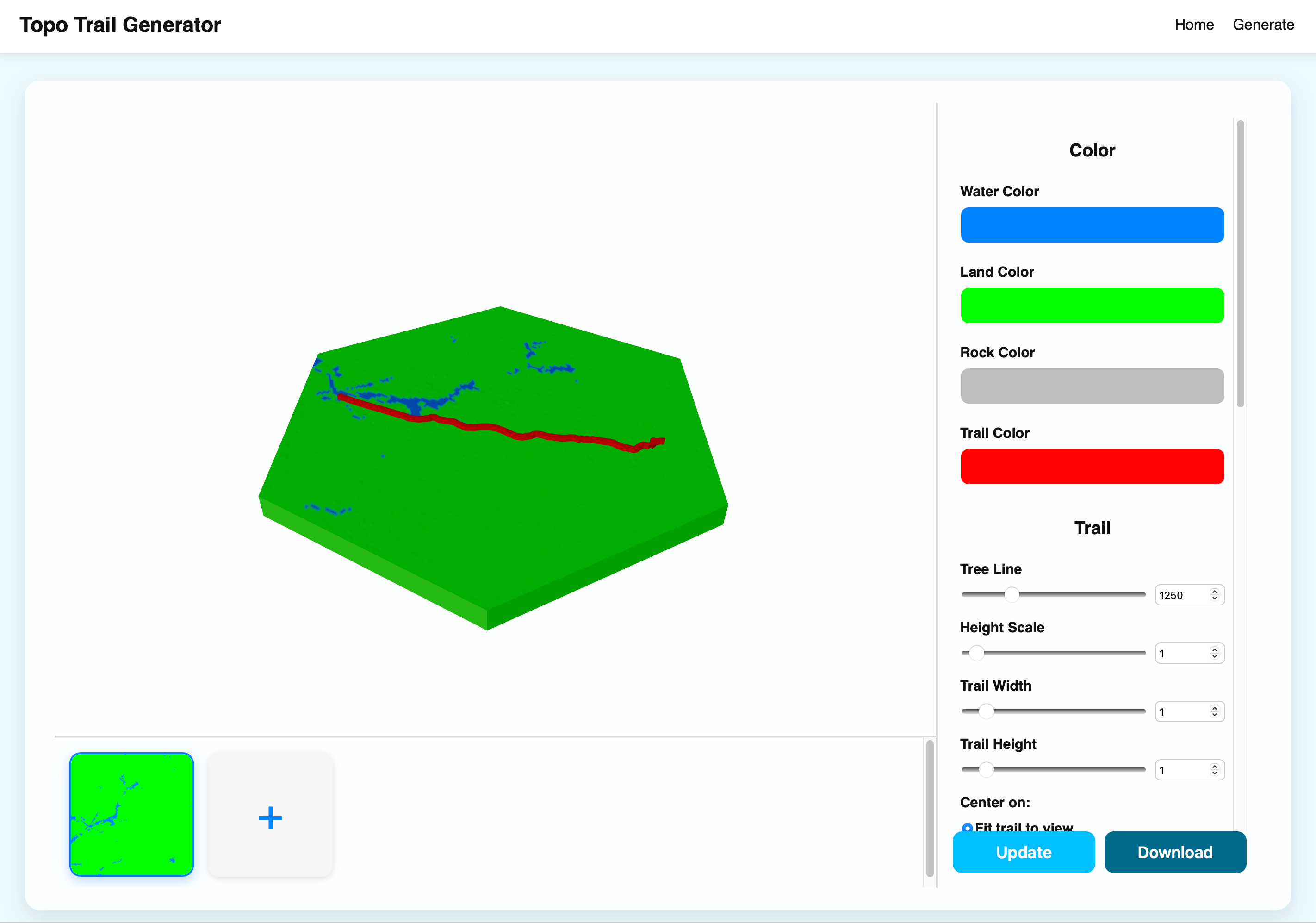
TopoTrail is a specialized free web-based tool designed specifically for outdoor enthusiasts who want to transform their GPS-tracked adventures into stunning 3D printable terrain models. Whether you’re a hiker, cyclist, runner, or outdoor explorer, TopoTrail makes it incredibly easy to create personalized topographic displays of your favorite trails and routes.
The platform works by allowing users to upload GPS track files (.gpx format) from popular fitness and navigation apps like Strava, Garmin Connect, Komoot, or any GPS device. Once uploaded, TopoTrail processes the elevation data and generates detailed 3D mesh models that accurately represent the terrain contours, elevation changes, and geographical features along your route.
TopoTrail offers extensive customization options to make your trail models truly unique:
- Color Customization: Separate color controls for water bodies, land terrain, rock formations, and trail paths
- Scale and Detail: Adjustable height scaling and model resolution
- Shape Options: Various base shapes including rectangular, circular, and custom polygons
- Trail Visualization: Customizable trail width and height to emphasize your path
- Base Configuration: Adjustable base thickness and border spacing
The generated models are exported in standard 3D printing formats, making them compatible with all major slicing software and 3D printers. TopoTrail is particularly valuable for:
- Personal mementos: Creating lasting displays of memorable hikes or bike rides
- Adventure documentation: Physical representations of completed challenges or thru-hikes
- Educational displays: Teaching tools for geography, outdoor education, or environmental studies
- Gift creation: Personalized presents for fellow outdoor enthusiasts
- Route planning: Physical models for visualizing and planning future adventures
As a web-based solution, TopoTrail requires no software installation and works across all modern browsers. The tool leverages open-source elevation data to ensure accuracy and detail, making it a perfect complement to GPS tracking apps and outdoor navigation tools. Whether you’re commemorating a summit achievement or creating a coffee table display of your local trails, TopoTrail bridges the gap between digital adventures and tangible 3D art.